


Home > Research > Research Overview > 2014 > Faculty of Education, Art and Science
Hiroshi Yagi
Professor
Department of Education, Art and Science
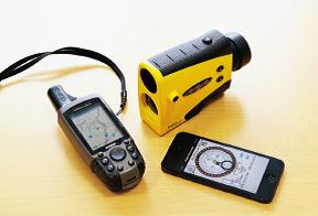
▲Field devices for disaster study (range finder, GPS and clinometer)
The 21st century is a disaster era. Large-scale earthquakes have occurred around the world, including Japan and some areas in Asia, since the Mid Niigata Prefecture Earthquake in 2004. People are prone to be conscious of building breakage from strong earthquakes, but an inland epicentral earthquake can cause a terrestrial disaster such as a landslide and an avalanche of earth and rocks ending with tragic results.
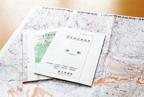
▲We contribute to "Active faults in urban areas," which is published by the Geospatial Information Authority of Japan.
Active faults are distributed along the borders between mountains and basins, which have caused earthquakes at recurrent intervals of a few thousand years. As faulting repeatedly occurs along the same trace, an earthquake displacing the surface of the earth by only one to two meters is a small step, but the accumulated displacement forms a small hill or an incline after several tens of thousands of years. A large-scale landslide may occur along with an earthquake or localized downpour, creating a cliff, depression or pond on a mountain slope. We may unconsciously live, never thinking of the history of such familiar landscapes.
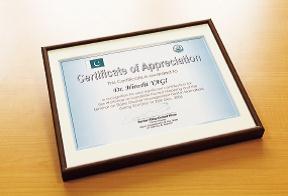
▲We hosted training for disaster research and creating a hazard map concerning the Pakistan Earthquake in 2005; the Prime Minister of the Azad Kashmir Government in Pakistan sent a letter of appreciation.
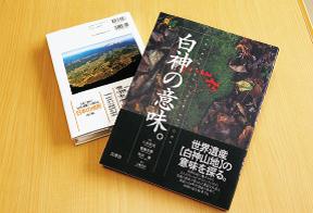
▲The results of the geographic landscape research were utilized when the Shirakami Mountains were designated as a World Natural Heritage site.I participated in writing for specialized books about the geographic features of the Tohoku Region and also provided many aerial photographs of geographic landscapes.
The first step in disaster research is rupture inventory mapping of active faults and landslides, using aerial photographs, satellite images and topographic maps covering a disaster affected area. Then we use GIS analysis to elucidate the geomorphologic and geologic characteristics and inducement at the site of the terrestrial disaster. Giving meaning to a familiar natural landscape facilitates recognizing the disaster susceptibility for local residents and also enables developing a hazard susceptibility map for preparing for secondary disasters. I am working on applying the hazard mapping technique that was developed based on the geological convulsions in Japan to the Karakorum, Himalayas and mountainous Central America. We are now also using a compact unmanned aerial vehicle (UAV) to develop a situation comprehension system at a disaster occurrence spot.